Glovizor is a simple and lightweight GPS tracking system installed on your own computer or server.
The software receives data from GPS trackers and stores it in a MySQL database. The map and the entire system are accessed and managed through a standard web browser using the built-in web server.
Glovizor is designed for 64-bit Windows and does not require any additional components: only MySQL and the application itself are needed. The system can also be run on Linux via Wine without an X server.
Map and Movement History
- Map selection — OpenStreetMap or Google Maps;
- Display of the current object locations on the map;
- Automatic tracking of the selected object;
- Track display for a selected period;
- Display of the start, end, and route points on the track;
- Display of stops and sections exceeding the specified speed on the track;
- Creation and display of Points of Interest (POIs) on the map;
- Selection of icons for objects and places;
- Object list with search and filtering;

Hardware and Protocols
- Broad compatibility — Glovizor natively supports 21 protocols and more than 560 GPS tracker models.
- Modular architecture — each protocol is implemented as a separate DLL library. Adding or updating a protocol does not require reinstalling or rebuilding the application: simply add or replace the library and restart the GPS service.
- Support for new devices — if the required equipment is not listed, we can modify an existing protocol or develop a new one upon request. This requires the manufacturer’s technical documentation and a device connected to the Glovizor demo server.

Basic Reports
- Distance traveled — distance, average and maximum speed, estimated fuel consumption based on the specified consumption rate;
- Stops — start and end time, duration, and stop location;
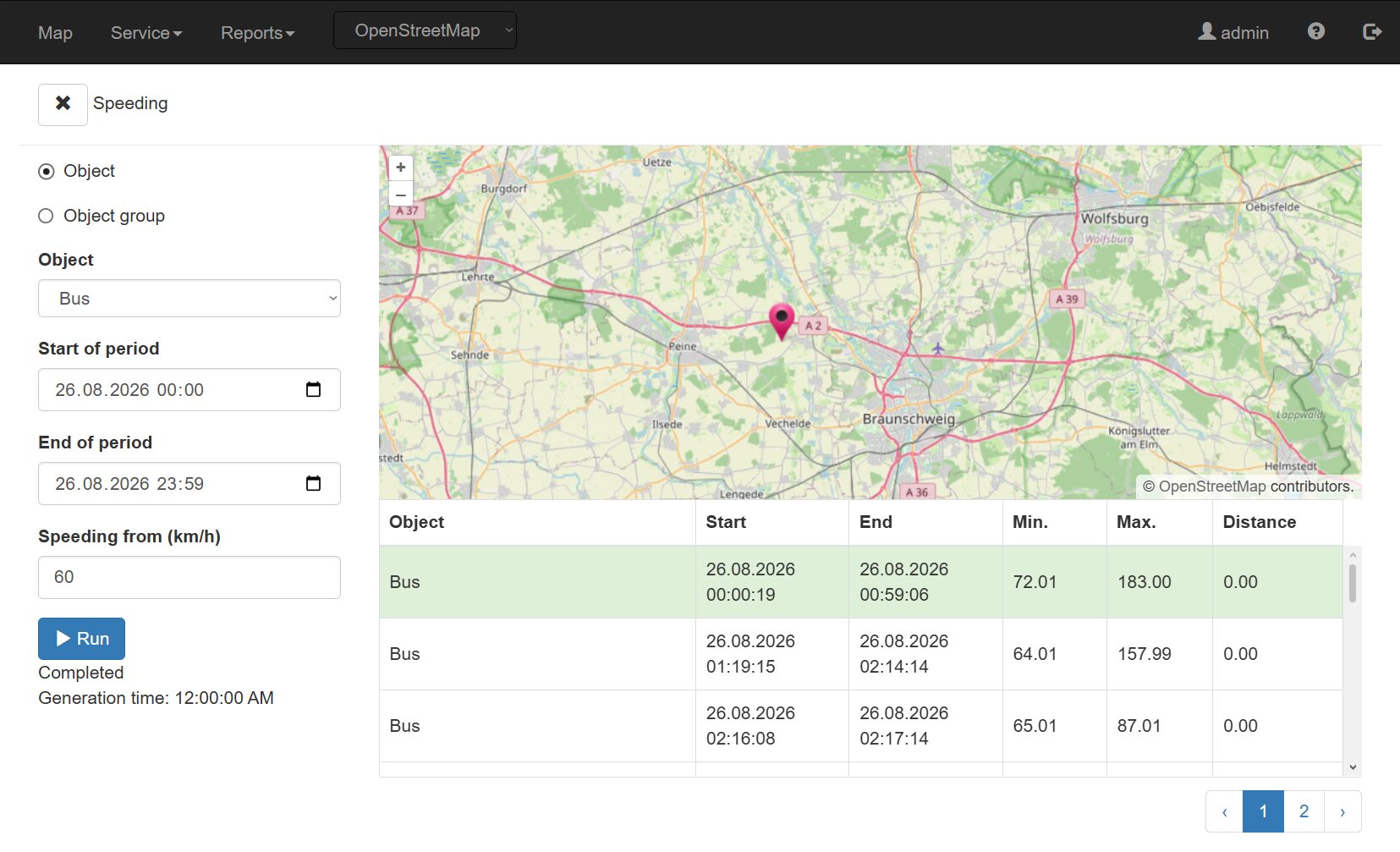
- Speeding — speeding period, minimum and maximum speed, distance traveled;
- Received messages — complete list of data received from the GPS tracker, with filtering by period;
Other Features
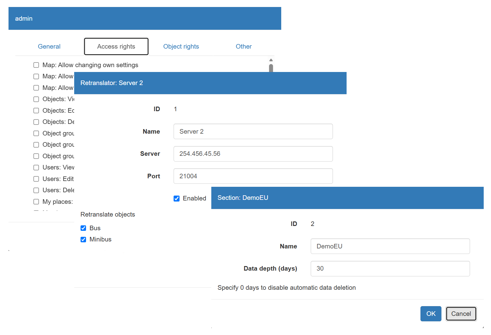
- Users and access rights — create separate user accounts, configure individual permissions, and restrict object visibility by group.
- Sections (multitenancy) — divide application data into independent, isolated areas. Each section contains its own objects, groups, and users. Users in one section cannot see the data or settings of other sections.
- Data forwarding — automatically forward data from selected GPS trackers to another monitoring server using the Wialon IPS protocol.
- Command sending — send control commands directly to the GPS tracker through an active communication channel without using SMS.